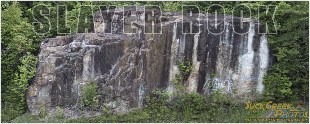
Maps
Here you can find related maps of the Suck Creek Mountain area. Click on each link to open in a new window.
Prentice Cooper State Forest Topographic Road, Trail and Terrain Map 1775 X 2307 px jpg, 892 KB
Prentice Cooper State Forest Road Use Relief Map (Color) 3899 X 6000 px jpg, 2.15 MB
Prentice Cooper Cumberland Trail Map 5625 X 4375 px jpg, 3.4 MB
Where to Find Me on Suck Creek Road
More information about Prentice Cooper from TN.gov.
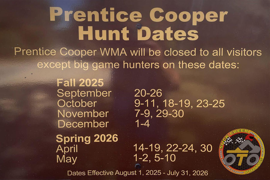
This is the Prentice Cooper hunting schedule for 2025/2026. There are a number of closures on the books for the rest of the year
and Spring of next year. In addition, all side roads and everything past Pot Point Road will be closed for the Winter from
December 20 - March 15. This includes Haley Road and Lusk Point. Davis Pond and Snooper's Rock will be accessible. Closed side roads will
be available to hikers, horseback riders, mountain bikers; but no motorized vehicles are permitted on the side roads during the winter.
In addition, I take part in many activities in the area, including kayaking, road and mountain biking, and hiking. This is my personal map
of many of my activities (very large): Personal Activities Map 15000px jpg, 31MB

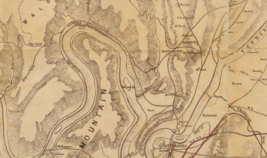
The Library of Congress has many interesting maps, including this circa 1864 map
of Chattanooga, Signal Mountain,
Sequatchie Valley and surrounding areas. Very cool!
If you're looking for a map of where to find me when I'm out doing my thing (along with my more-or-less schedule), there's one on the Suck Creek Photos blog, right here: https://suckcreekphotos.com/blog/where-to-find-me/. Come see me!